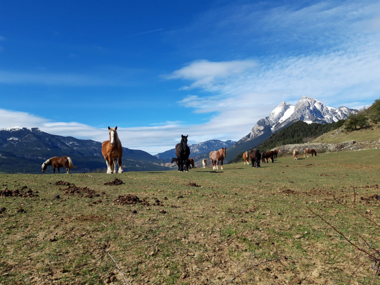
Gisclareny
The Natural Park of the Cadí-Moixeró is a protected area of natural interest with more than 41,000 hectares that extends through Berguedà, Cerdanya and Alt Urgell.
There is the Cadi range - to the west, where the waters converge with Segre - and the Moixeró range to the east - where the waters come together, on the southern slope, to the Llobregat -, as well as several massifs (such as Pedraforca) and mountain ranges, such as Gisclareny. It is precisely in this area that the only village located inside the park is: Gisclareny. The village has remained virtually unchanged over time (new buildings cannot be built inside Cadí-Moixeró Natural Park), while maintaining the beautiful and characteristic stone houses . At the same time, it will hardly be able to increase its population and for many years it has been the town with the least inhabitants of Catalonia.
The route runs through the beautiful village, with numerous scattered houses and unmatched views of Pedraforca.
Technical sheet
Route number: 16
Town: Gisclareny
Type: Very easy
Starting point: Gisclareny church square
Ending point: Gisclareny church square
Distance: 5,5 Km
Time: 1,5 h.
maximum altitude: 1447 m.
height difference: 174 m.
Signals: Unmarked route
To organise
Cartography: 46-Parc Natural del Cadí-Moixeró E. 1:25.000. Institut Cartogràfic i Geològic de Catalunya Moixeró - La Tosa 1:25.000. Ed. Alpina
More information
Bibliography: Les Tres-centes cases de Gisclareny de Francesc Caballé. Ed. l'Albí Inventari de Patrimoni: invarquit.cultura.gencat.cat
Documents and links
OFICINA DE TURISME DEL BERGUEDÀ
Carretera C16 Km 96
08600-Berga. Phone (+34) 654 125 696
Monday to Friday: 9 to 14h.
Saturday: 10 to 14 & 16 to 18h.
Sunday and holidays: 10 to 14h.
E-mail: turisme@elbergueda.cat
[Premsa]
Other

 English
 Follow us


![[Tancar]](/plantilles/bergueda/img/tancar.png)


