
 English
 Follow us


![[Tancar]](/plantilles/bergueda/img/tancar.png)
From the Llobregat river to the Merlès stream
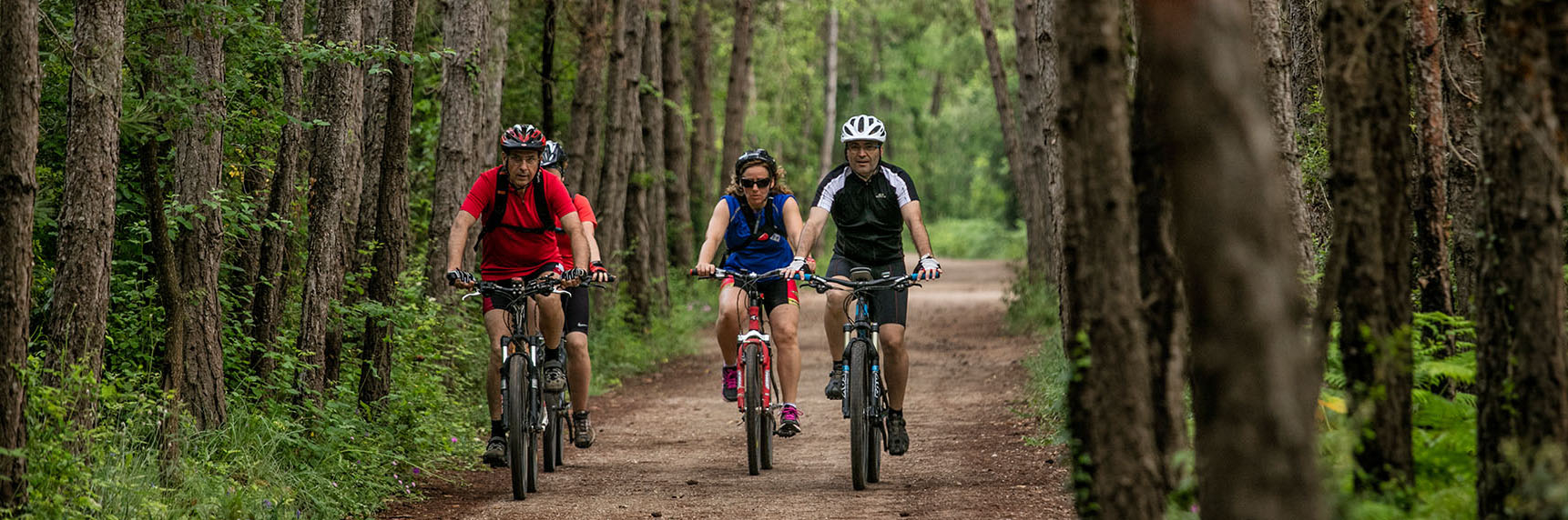
On the south west side of Berguedà there is an extraordinary variety of landscapes due to the different natural environments of the area. There are white pine forests and riparian forests. There are sections of oaks and small oaks.
It is a landscape of transition between the beech forest of Catllaràs and the pines of Bages ... between numerous streams and streams. This route makes an extensive discovery of this territory located to the west of Gironella in Puig-reig, crossing an enormous diversity of landscapes, with magnificent views from the tops of two viewpoints such as Biure and La Guàrdia.
Technical sheet
Route number: 42
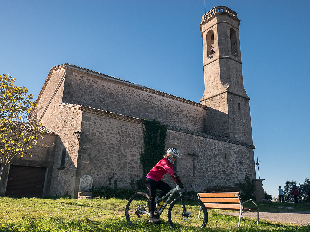
Town: Gironella
Type: Difficult
Starting point: Bridge over the Llobregat river through the northern access to Gironella
Ending point: Bridge over the Llobregat river through the northern access to Gironella
Distance: 55 Km
Time: 6,5 h.
maximum altitude: 740 m.
height difference: 1809 m.
To organise
Cartography: 64-Lluçanès. 1:25.000. Institut Cartogràfic i Geològic de Catalunya Catllaràs - Picancel 1:25.000. Ed. Alpina
More information
Bibliography: Inventari de Patrimoni: patrimonicultural.diba.cat
Documents and links
[TambeInteressar]
- >

- >
- >
OFICINA DE TURISME DEL BERGUEDÀ
Customer service opening hours:
from Monday to Friday from 9 am to 2 pm.
on public holidays falling from Monday to Friday from 10 am to 2 pm.
Tel. +34 654 125 696
E-mail: turisme@elbergueda.cat
![]()
ACKNOWLEDGMENTS

[Premsa]
Other


Follow us


