
 English
 Follow us


![[Tancar]](/plantilles/bergueda/img/tancar.png)
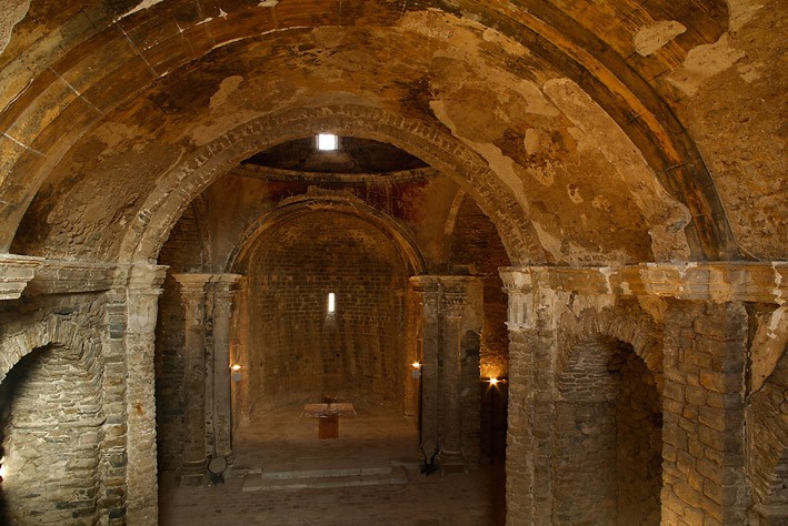
The Romanesque of the valley of Lillet
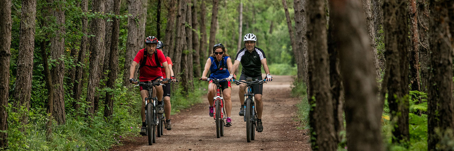
The route starts at Plaça del Fort from where we take the B-402 road and follow it for 1.5 km towards Ripoll to the junction to the monastery of Santa Maria de Lillet. We take this road to the monastery. We continue in the direction of the castle of Lillet on the west side of the hill and return to the same castle on the east side. We continue to return to the roundabout of St. Miquel and the plain of Santa Maria.
From here a path will return us to La Pobla de Lillet where we will enter through the chapel of Sant Antoni and the district of Coromines.
Technical sheet
Route number: 14
Town: La Pobla de Lillet
Type: Very easy
Starting point: Plaza del Fort
Ending point: Plaza del Fort
Distance: 7 Km
Time: 2 h.
maximum altitude: 1049 m.
height difference: 240 m.
Signals: Unmarked route
To organise
Cartography: 46-Parc Natural del Cadí-Moixeró E. 1:25.000. Institut Cartogràfic i Geològic de Catalunya Catllaràs - Picancel 1:25.000. Ed. Alpina
More information
Bibliography: Inventari de Patrimoni: patrimonicultural.diba.cat
Documents and links
OFICINA DE TURISME DEL BERGUEDÀ
Customer service opening hours:
from Monday to Friday from 9 am to 2 pm.
on public holidays falling from Monday to Friday from 10 am to 2 pm.
Tel. +34 654 125 696
E-mail: turisme@elbergueda.cat
![]()
ACKNOWLEDGMENTS

[Premsa]
Other


Follow us


