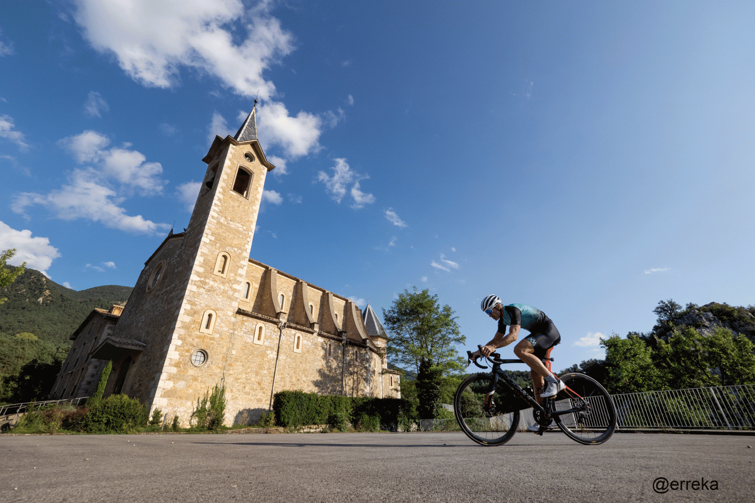
Volta al Mortirolo
Berga-La Baells- Coll de Vinyoles -La Nou de Berguedà-Malanyeu-C-16-La Nou de Berguedà-Coll de Vinyoles -La Baells-Berga
The Mortirolo Pass (1,851 m), also known as the Foppa Pass, is an Italian mountain pass that connects the alpine areas of the upper Valtellina and the upper Val Camonica.
This is a route that has never been very frequented except at the end of April 1945 when fighting took place between partisans and German troops during their retreat towards Germany. After remaining for many years as a secondary mountain road, the situation changed in 1990, when it was included in the route of the Giro d'Italia, due to the very steep and constant slopes on its northern face.
After being paved, the bicycle race has happened more times. Some feats have taken place that have entered the legend of cycling, such as the solitary escape of the then emerging Italian cyclist Marco Pantani in 1994, who got rid of sought-after adversaries such as Miguel Indurain or Claudio Chiappucci.
It has a length of about 12.5 km and a gradient of 1,300 meters. The average slope is greater than 10% and in some sectors it reaches 18%.
In Berguedà we do not have the Mortirolo pass although a circular route through the Catllaràs area has symbolically taken this name due to the accumulation of several steep ramps in a few kilometers, only suitable for the bravest cyclists. But far from the continued hardness of the authentic Italian Mortirolo pass.
Description
The route begins at the Paseo de la Industria, which is accessed through the Berga Center entrance, 661 meters high. We will leave in the direction of the Paseo that we will follow until turn to the right along Quim Serra street, until the Berga Norte roundabout. Take the second exit towards the C-1411z road to the Santa Magdalena pass.
After the pass we will continue along the old Cercs road (C-1411a) for a few meters as we will soon continue along the main road BP-4654 until crossing under the C-16. Once we have crossed this main road we will begin the descent that will take us to the Baells reservoir following the C-26 towards Vilada and Ripoll.
A couple of kilometers past the bridge over Baells, we find a detour to the left that indicates La Nou. We must continue there and start the first ramp that will take us to overcome 250 meters of difference in altitude in just under 4 kilometers to Pla de Clarà. A break in the form of a plane and a descent along the Marginet planes will take us to the town of La Nou, which we will cross to face the second ascent to Malanyeu.
Before reaching the town, we will have to turn left along the road that will take us to find the C-16 following the Malanyeu torrent. Once down, follow the main road, towards Berga-Barcelona until the entrance to the Baells reservoir where we will take the detour to the left towards La Nou de Berguedà.
The BV-4022 road will take us through the third ascent of the day until we reach the sanctuary of Lurdes where we will take the road that will take us again to the Planes de Marginet and the Pla de Clarà to go down to the C-26 and take it on the right. to return to Berga, the starting and ending point of the itinerary.
Technical sheet
Route number: 09
Town: Berga
Type: Difficult
Distance: 44 km.
Time: 3 hores
maximum altitude: 1128 m.
height difference: 1304 m.
Documents and links
OFICINA DE TURISME DEL BERGUEDÀ
Carretera C16 Km 96
08600-Berga. Phone (+34) 654 125 696
Monday to Friday: 9 to 14h.
Saturday: 10 to 14 & 16 to 18h.
Sunday and holidays: 10 to 14h.
E-mail: turisme@elbergueda.cat
[Premsa]
Other

 English
 Follow us


![[Tancar]](/plantilles/bergueda/img/tancar.png)


