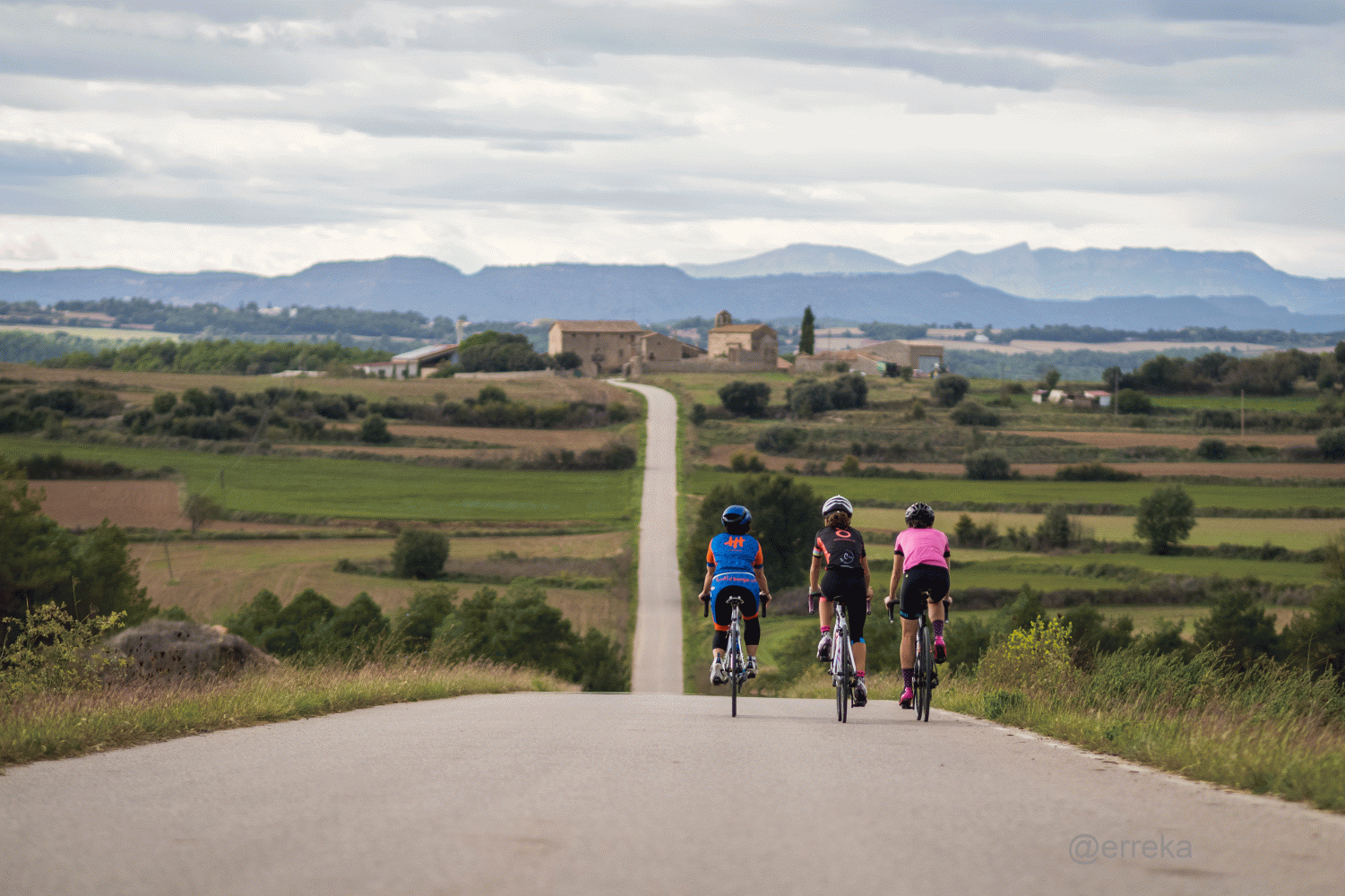
La Cardonesa
Berga-Graugés-Casserres-Viver-Serrateix-Cardona-Montmajor-Montclar-L’Espunyola-Avià-Berga
This is one of the most popular routes that runs through the south-west of Berguedà. The route will take us to Cardona, one of the main tourist resources in Bages.
The route runs mostly on secondary roads with a firm in very good condition, which gives it a lot of peace and security. The general trend is that it is a fairly rolling route, with small ups and downs but without any excessively remarkable slopes.
Along the entire route we will find several points of interest that are worth visiting. Although we cannot stop at each of them, we can always take the opportunity to get to know some unknown corner and return to share the discovery.
Description
The route starts at the car park at the entrance to Berga sud, at the bottom of Passeig de la Pau, at an altitude of 661 metres. We will leave in the direction of the Passeig and at the first roundabout - with the Patum emblem - we will take the Sant Fruitós road up. At the top of the street we will turn left in the direction of Valldan. After the neighborhood, we will reach the C-26 road which we will only follow until the second roundabout. Here, we will go almost all the way around the roundabout to climb a paved path that goes down marked as "Graugés" and that in a few meters ends on the BV-4135 road.
We will follow this road for just over 3 km to turn right in the direction of Graugés. We will pass the agricultural colony and the lake - if you look carefully you will see it on the right-hand side - and continue south to Sant Pau de Casserres where we will join the BV-4132 which we will follow in the direction of Casserres until the end of the road. Once here, turn right and a few meters further on left on the old Cardona road - paved and indicated as Fonogedell - which will take us first to Sant Joan de Mondarm and then to Viver where we will find the BV- 4235 that we will follow in the direction of Serrateix.
Once you get here, it's worth a visit to the Santa Maria monastery. The road continues to climb for a couple of kilometers to start a constant descent until you find the C-55 near Cardona. Without entering this main road, we will continue in the direction of the town center along road 1410z, which later becomes B-422.
Once in the center, we can take the opportunity to visit or stock up on groceries or drinks. We will leave Cardona by taking the B-400 to cross the Cardener river in the direction of Gargallà where we will arrive on the same road in a gentle climb to the head of 7 Km. We will continue north until passing PK 13 where we will have to turn right in the direction of Montmajor (B-421). From Montmajor, a road will take us to Montclar to continue until we find the BV-4131 which we will follow to the left in the direction of Espunyola.
Once we've arrived here, all we have to do is turn right and plan towards Avià and Berga along the C-26 until we return to the point where we started the route.
Technical sheet
Route number: 01
Town: Berga
Type: Easy
Starting point: Berga Sud Car park
Ending point: Berga Sud Car park
Distance: 78,37 km.
Time: 4,5 hores
maximum altitude: 826 m.
height difference: 1403 m.
Signals: Unmarked itinerary
Documents and links
OFICINA DE TURISME DEL BERGUEDÀ
Carretera C16 Km 96
08600-Berga. Phone (+34) 654 125 696
Monday to Friday: 9 to 14h.
Saturday: 10 to 14 & 16 to 18h.
Sunday and holidays: 10 to 14h.
E-mail: turisme@elbergueda.cat
[Premsa]
Other

 English
 Follow us


![[Tancar]](/plantilles/bergueda/img/tancar.png)


