Transcatllaras Route
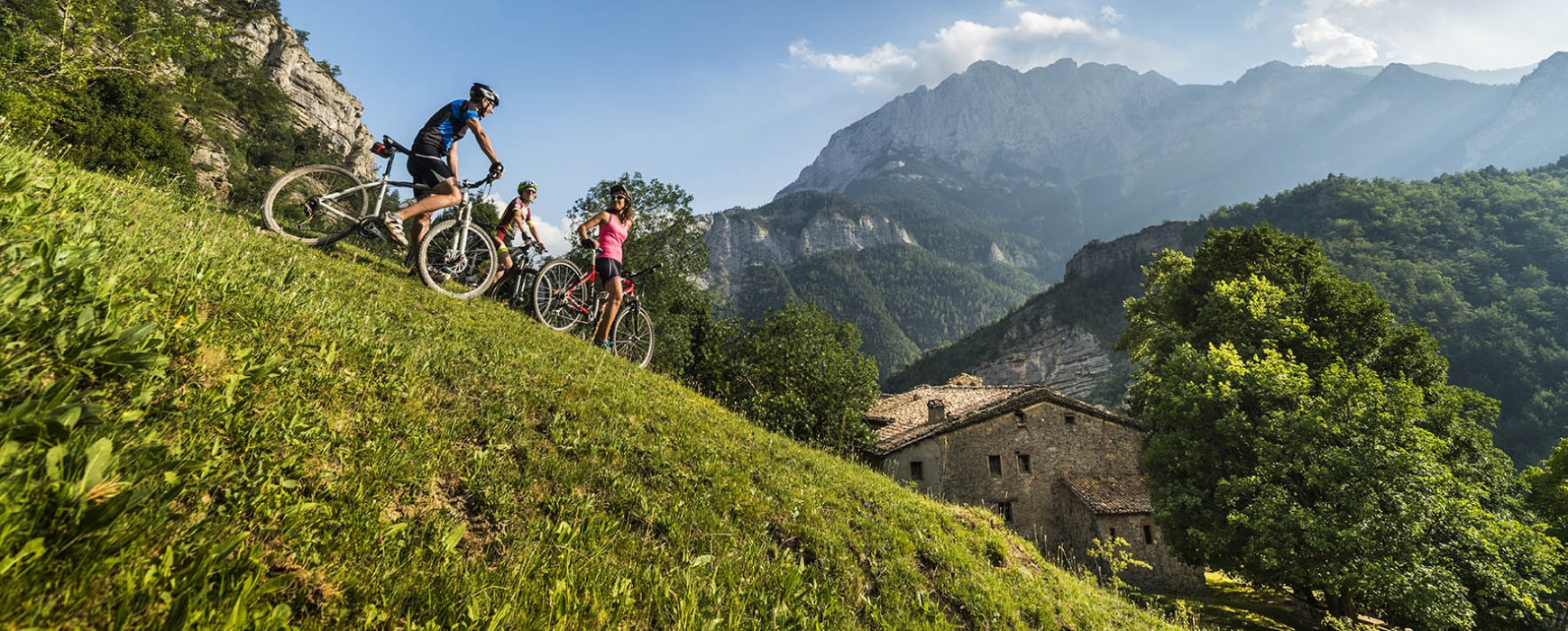
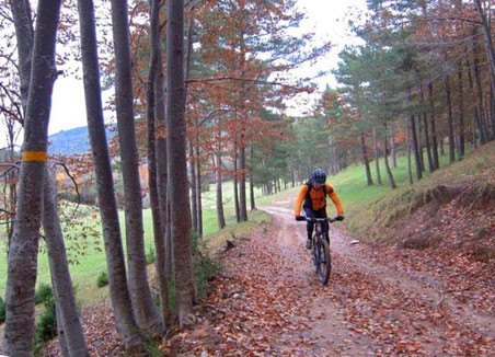
The Transcatllaràs mountain biking trail is a 150 km and approximately 5500 meters of accumulated vertical slope around the Massif of the Catllaràs (Berguedà).
The route starts in Sant Julià de Cerdanyola (950 m.) , and passes through the towns of La Nou Vilada, Castell de l'Areny, Sant Jaume de Frontanyà and La Pobla de Lillet, visiting the most emblematic features of the territory .
The Transcatllaràs is not marked with indicators or directly on the ground because we want the territory remains as clean and natural as possible.
As for the route, note that this is a path of considerable hardness. Transcatllaràs is a demanding route in a paradise of nature. The route is on bike a 99.9% : just a couple of sections are impossible to do on the bike and you need to make them walk.
The Transcatllaràs is not feasible during the winter months: the accumulation of snow and ice preclude the normal development of the route.
Technical sheet
Town: Sant Julià de Cerdanyola
Type: Middle
Zone: Catllaràs Range
Starting point: Sant Julià de Cerdanyola
Distance: 150 km.
Time: 2-4 etapes
height difference: 5.500 m.
Signals: no signals
Documents and links
[TambeInteressar]
- >

OFICINA DE TURISME DEL BERGUEDÀ
Carretera C16 Km 96
08600-Berga. Phone (+34) 654 125 696
Monday to Friday: 9 to 14h.
Saturday: 10 to 14 & 16 to 18h.
Sunday and holidays: 10 to 14h.
E-mail: turisme@elbergueda.cat
[Premsa]
Other

 English
 Follow us


![[Tancar]](/plantilles/bergueda/img/tancar.png)


