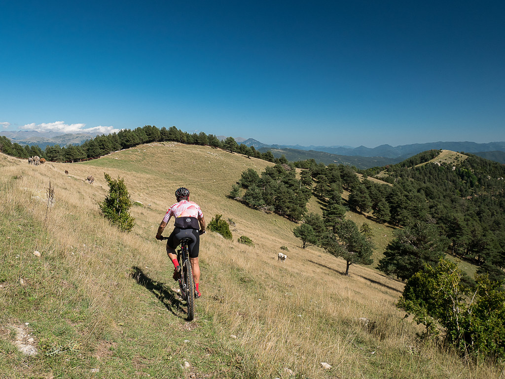
The great Catllaràs
The northern slope of the Massif of the Catllaràs is an extensive area practically uninhabited most of the year, beyond the villages.
Between Sant Julià de Cerdanyola, Malanyeu, Sant Jaume de Frontanyà and La Pobla de Lillet, a large square of 30 km2 extends without practically any house permanently inhabited all year round, although there are some establishments open during boom times (such as Falgars).
Livestock is limited to the summer months and there is hardly any cleaning and removal of firewood during the harsh winters in the Catllaràs. But at the beginning of the century there had been several coal mines in this area (as at the beginning of the Ardericó track and in the vicinity of the track that goes up from La Pobla to Falgars) with numerous workers. There were also some farms that lived in the countryside (such as Montclús, Ardericó, Arderiu or Vallfogona). In an age where life in the Catllassos was in very harsh conditions, intense daily activity was developing, with farmers, ranchers, shepherds and miners moving up and down the northern slope of Catllassos, nothing to do with what is currently tourist activities in the area.
Technical sheet
Route number: 38
Town: Sant Julià de Cerdanyola
Type: Difficult
Starting point: In front of the municipal pool of Sant Julià de Cerdanyola
Ending point: In front of the municipal pool of Sant Julià de Cerdanyola
Distance: 49 Km
Time: 6 h.
maximum altitude: 1726 m.
height difference: 2061 m.
Signals: Unmarked route
To organise
Cartography: 46-Parc Natural del Cadí-Moixeró E. 1:25.000. Institut Cartogràfic i Geològic de Catalunya Catllaràs - Picancel 1:25.000. Ed. Alpina
More information
Bibliography: Inventari de Patrimoni: patrimonicultural.diba.cat Relleu fotogràfic de les Mines del Berguedà de J. Oriola i R. Solé. Ed. Casòliva
Documents and links
OFICINA DE TURISME DEL BERGUEDÀ
Carretera C16 Km 96
08600-Berga. Phone (+34) 654 125 696
Monday to Friday: 9 to 14h.
Saturday: 10 to 14 & 16 to 18h.
Sunday and holidays: 10 to 14h.
E-mail: turisme@elbergueda.cat
[Premsa]
Other

 English
 Follow us


![[Tancar]](/plantilles/bergueda/img/tancar.png)


