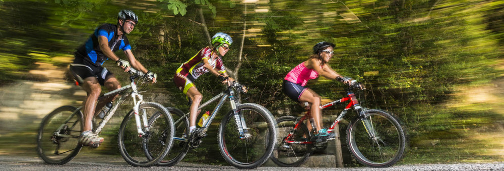
Return to the Noet Range
The route starts at the Berguedà regional tourism office. Exit south to clear the roundabout and cross the C-16 below towards the Berga treatment plant. Once past the sewage station, we turn left to go around the Noet mountain range to the south through the area of the Castanyer fields. We will pass through the farms of La Granja and Cal Pere until we reach the church of Sant Bartomeu de la Valldan. Follow the left-hand side of the C-26 to the entrance to the village of La Valldan.
When we arrive at Valldan, we will take the road that goes to the right to cross the C-26 below. that we will continue on our right until the old disco "Menfis". Once here, we will find several farms (Cal Pendola, Cal Juanito, Cal Boix) until we find the path that we had taken at the beginning in the area of the Cross of the Pinya.
From here you will only have to undo the initial path until the end of the route.
Technical sheet
Route number: 17
Town: Berga
Type: Very easy
Starting point: Berguedà regional tourism office (C-16 Km. 96)
Ending point: Berguedà regional tourism office (C-16 Km. 96)
Distance: 7 Km
Time: 1,5 hores
maximum altitude: 708 m.
height difference: 143 m.
Signals: Unmarked route
To organise
Cartography: 5-Berga. 1:25.000 Institut Cartogràfic i Geològic de Catalunya Rasos de Peguera - Serra d’Ensija 1:25.000. Ed. Alpina
Documents and links
OFICINA DE TURISME DEL BERGUEDÀ
Carretera C16 Km 96
08600-Berga. Phone (+34) 654 125 696
Monday to Friday: 9 to 14h.
Saturday: 10 to 14 & 16 to 18h.
Sunday and holidays: 10 to 14h.
E-mail: turisme@elbergueda.cat
[Premsa]
Other

 English
 Follow us


![[Tancar]](/plantilles/bergueda/img/tancar.png)


